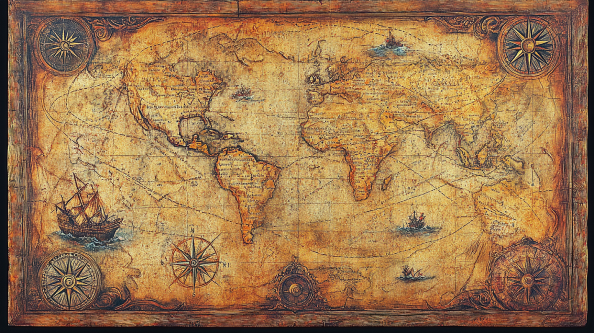
Among the many ancient artifacts that challenge mainstream historical narratives, few are as fascinating and controversial as the Piri Reis Map. Discovered in 1929 at the Topkapi Palace in Istanbul, this fragment of a world map continues to puzzle historians, geographers, and researchers to this day.
What makes the Piri Reis Map so extraordinary? It’s not just its age, but its astonishing accuracy—particularly regarding parts of the world that were supposedly unknown at the time.
Who Was Piri Reis?
Piri Reis (circa 1465–1553) was a renowned Ottoman admiral, navigator, cartographer, and scholar. He served as the commander of the Ottoman Navy and was deeply respected for his extensive knowledge of geography and maritime navigation.
In 1513, he compiled a world map—now known as the Piri Reis Map—using various older sources. This surviving portion of his map, drawn on gazelle skin parchment, shows parts of Europe, Africa, South America, and most intriguingly, Antarctica.
What’s So Strange About the Map?
The map appears to include accurate representations of coastlines, including some that weren’t officially discovered until centuries later. The most controversial aspect is that it may depict the northern coastline of Antarctica—free of ice.
Here’s why that’s so puzzling:
- Antarctica wasn’t officially discovered until 1818, 300 years after the map was created.
- The northern coast of Queen Maud Land, which is believed to be represented, is currently buried under over 1 kilometer of ice.
- Scientists only began to map the land beneath Antarctica’s ice cap in 1958, using seismic and radar technology—yet the Piri Reis Map seems to show it with surprising precision.
Advanced Knowledge or Lost Civilization?
This has led some researchers to believe that Piri Reis used ancient source maps, possibly drawn by a lost civilization that existed long before our recorded history. Some hypotheses include:
- A pre-Ice Age civilization that had knowledge of the Earth’s geography.
- The use of maps from the Library of Alexandria, which housed ancient geographic and scientific knowledge that may have been lost in antiquity.
- Knowledge passed down from seafarers unknown to mainstream history, possibly from the Phoenicians, Greeks, or even older cultures.
Mathematical and Geographical Precision
Another compelling aspect is the projection style of the map. The continents appear with a slight curvature, which initially seemed like a mistake. However, after the first satellite images of Earth were captured, it became clear that the map’s layout closely matches the real shape and curvature of the continents, as seen from high altitudes—something supposedly impossible to know in the 16th century.
What Do Experts Say?
Mainstream historians tend to classify the Piri Reis Map as an enigma or anomaly. While some attribute its details to guesswork or coincidences, others acknowledge the difficulty of explaining its accuracy using only 16th-century knowledge.
Prominent cartographers have studied the map for decades. In the 1960s, Professor Charles Hapgood proposed the idea that it was based on ancient maps created using sophisticated knowledge, possibly during an unknown advanced age of exploration. His theories influenced thinkers like Albert Einstein, who found the hypothesis intriguing, though still speculative.
So… Who Mapped Antarctica?
This is the big question. If the Piri Reis Map does show Antarctica before it was covered in ice, who made the original source maps? When did they live? And why don’t we know more about them?
Could this map be evidence of an ancient civilization with advanced cartographic knowledge, now lost to time?
While definitive answers remain elusive, the Piri Reis Map continues to spark curiosity, debate, and awe. It stands as a testament to the mysteries of our past, and a reminder that there’s still so much we don’t know about the true history of the Earth.
Final Thoughts
Whether you’re a skeptic or a believer in ancient advanced civilizations, the Piri Reis Map is undeniably one of the most intriguing historical artifacts ever discovered. It challenges our understanding of history, geography, and human capability—and invites us to look beyond the official narrative.
